Working at Microsoft was my first job out of college in 2011. I was initially hired for having Photoshop skills. The job involved providing final images for what became Bing Maps. I began as a general Image Specialist but eventually worked across several departments, including as a Data Ingest Technician and later an Email Marketing Specialist.
My main responsibility was reviewing satellite and aerial photography of the Earth’s surface. While working at a data warehouse outside Boulder, I spent months receiving massive data carriers—large, book-sized devices we’d plug into warehouse computers to download and process the imagery.
These images went through a multi-step quality assurance pipeline: stitching together digital elevation models (DEMs), bridge warp analysis, color correction on CMYK and RGB layers, and other meticulous checks, each with specific thresholds. Our team of 20–40 people reviewed almost every square mile of land surface on the planet.
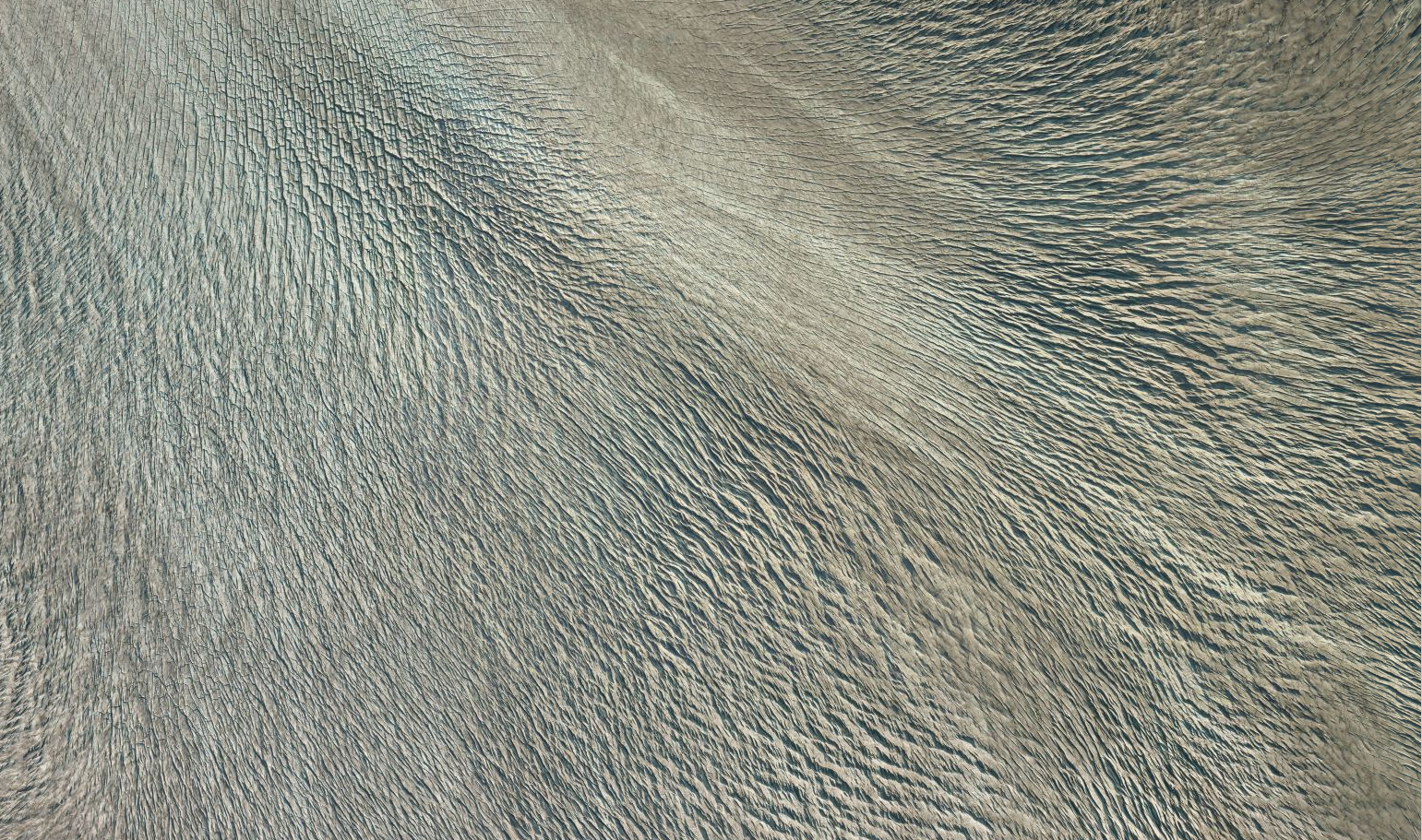
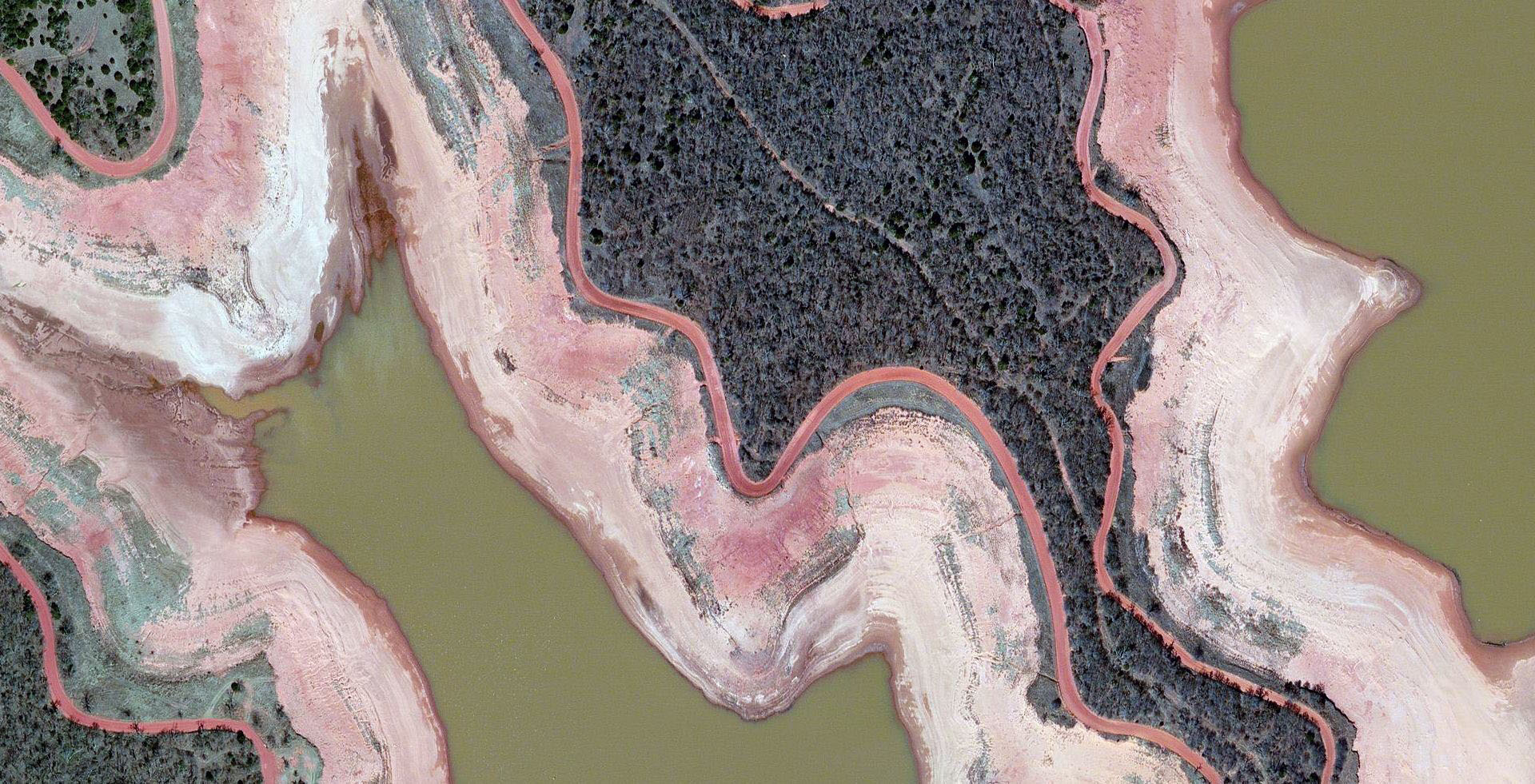
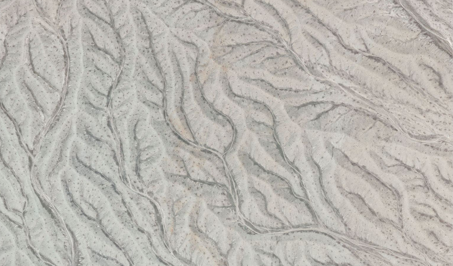
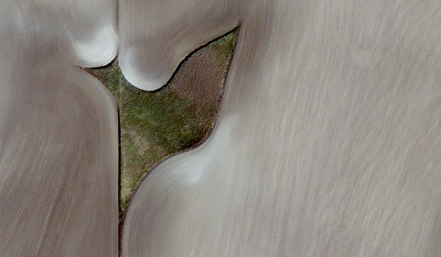
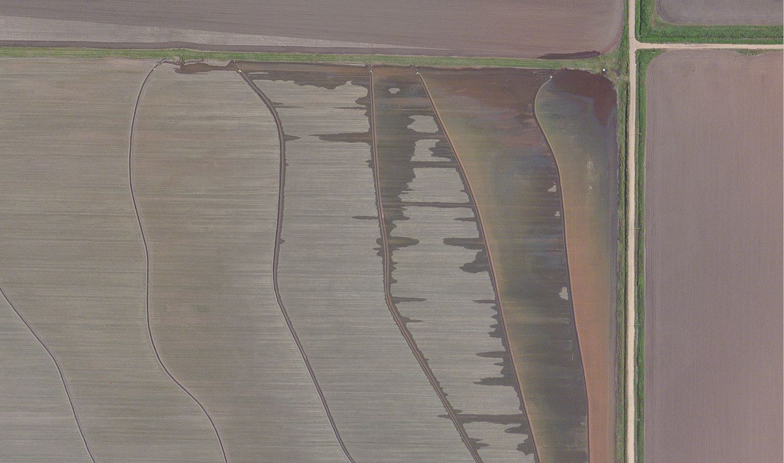
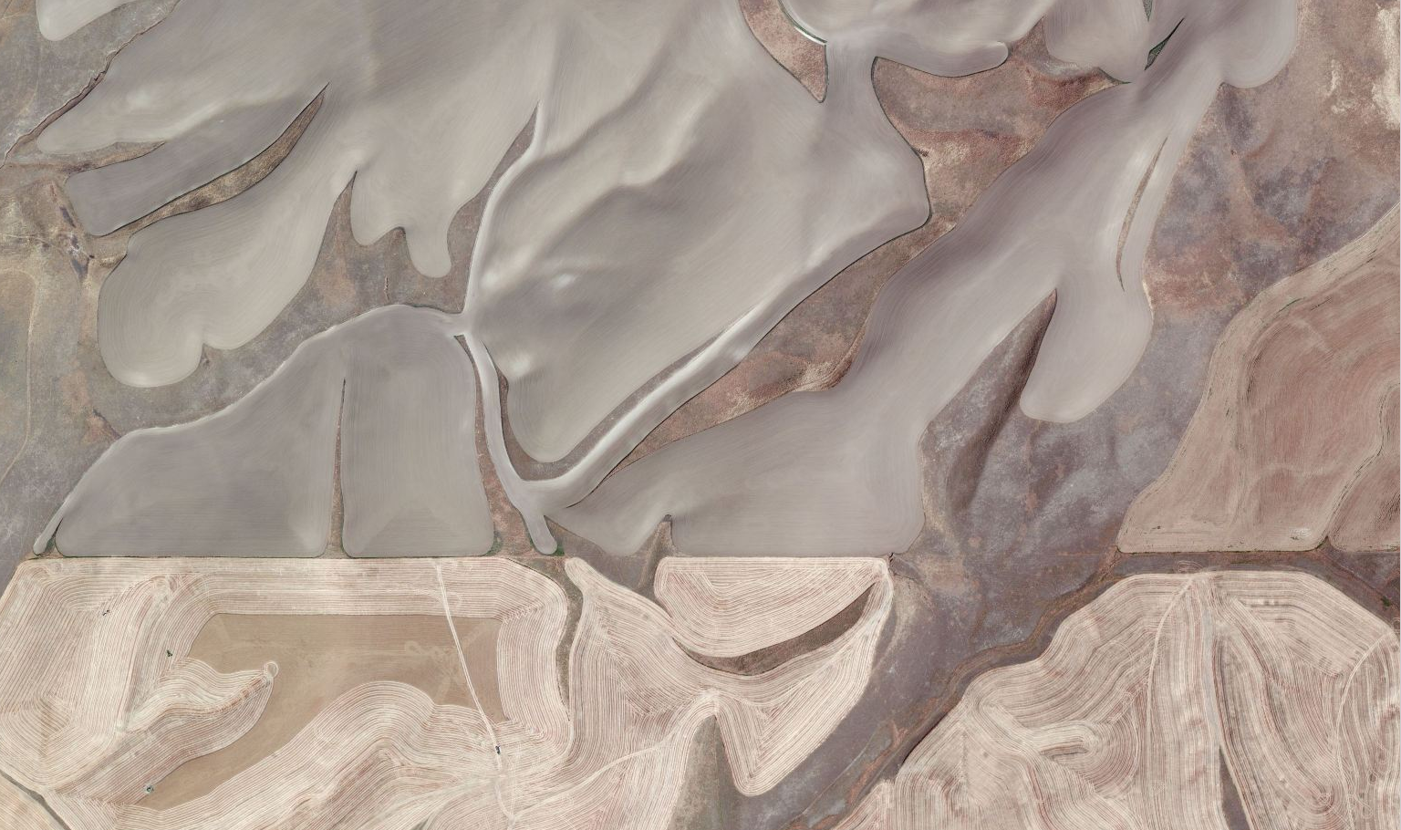
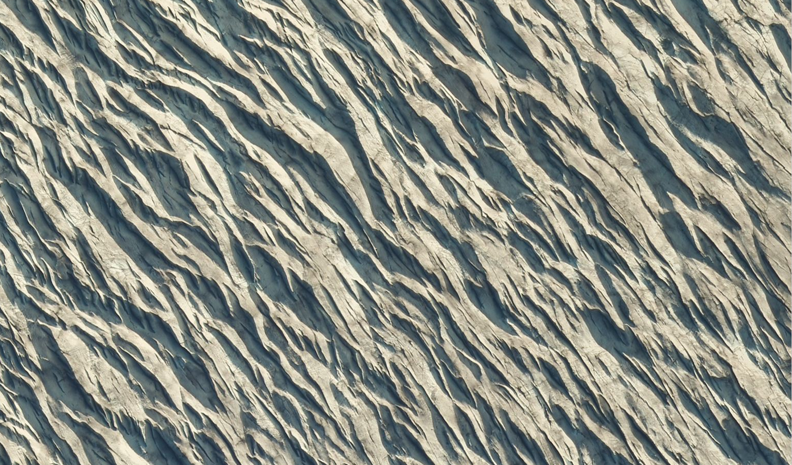
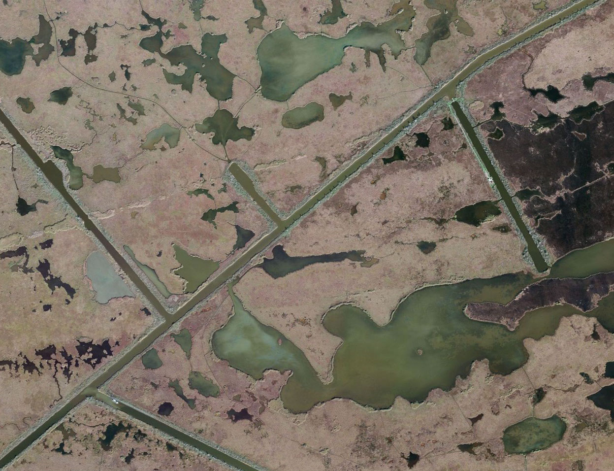
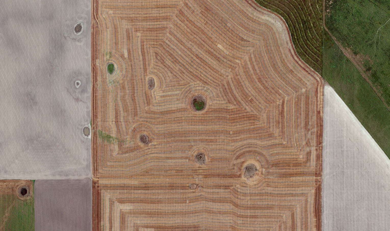
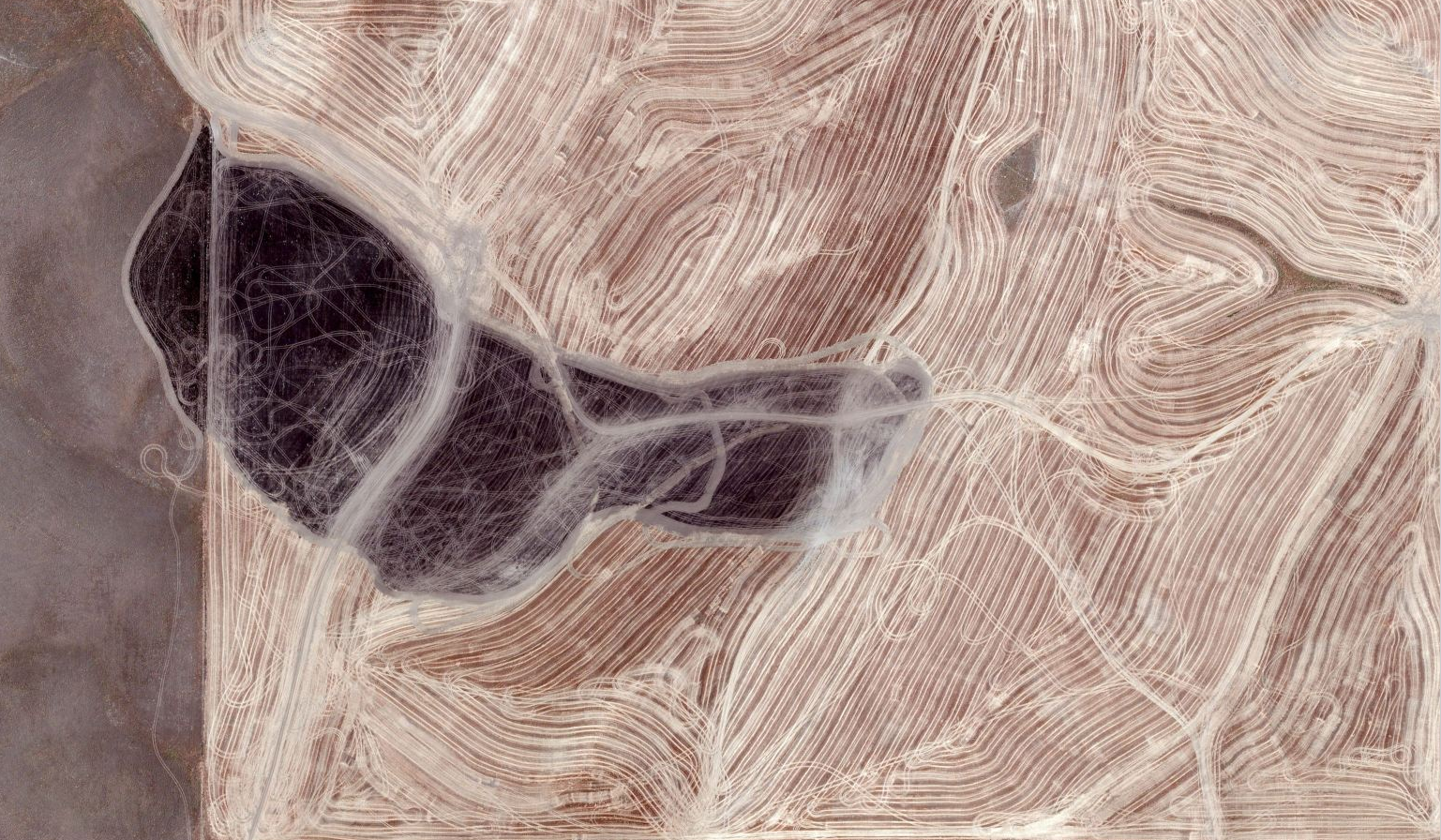
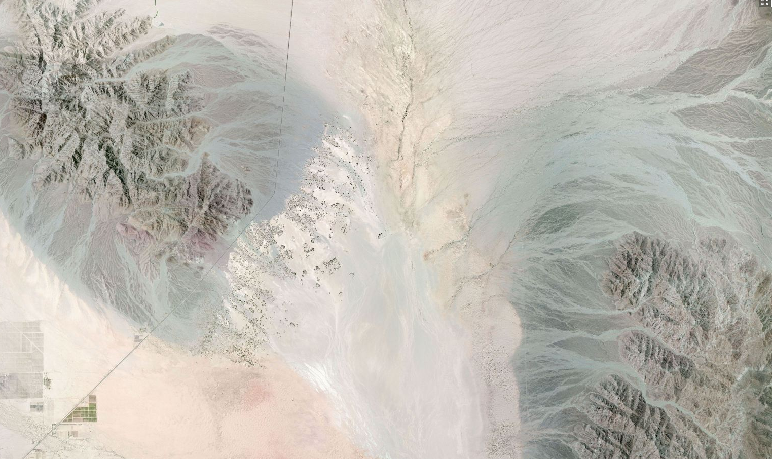
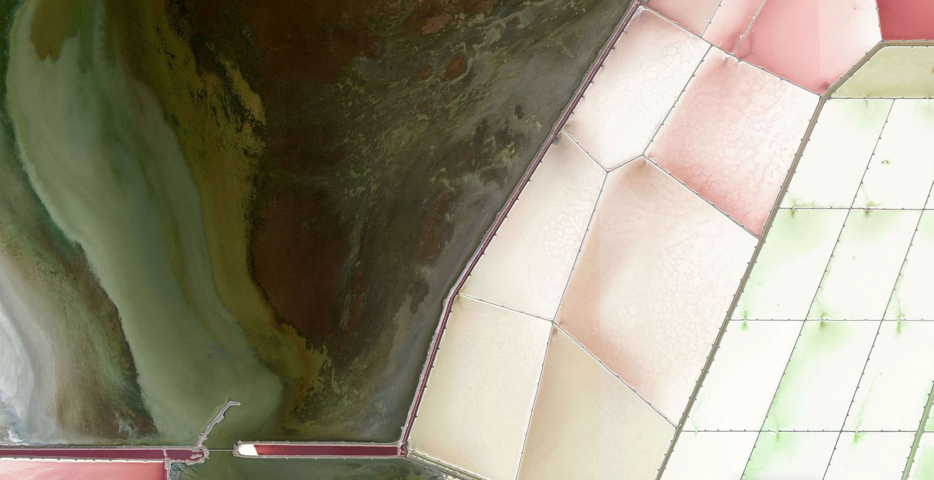
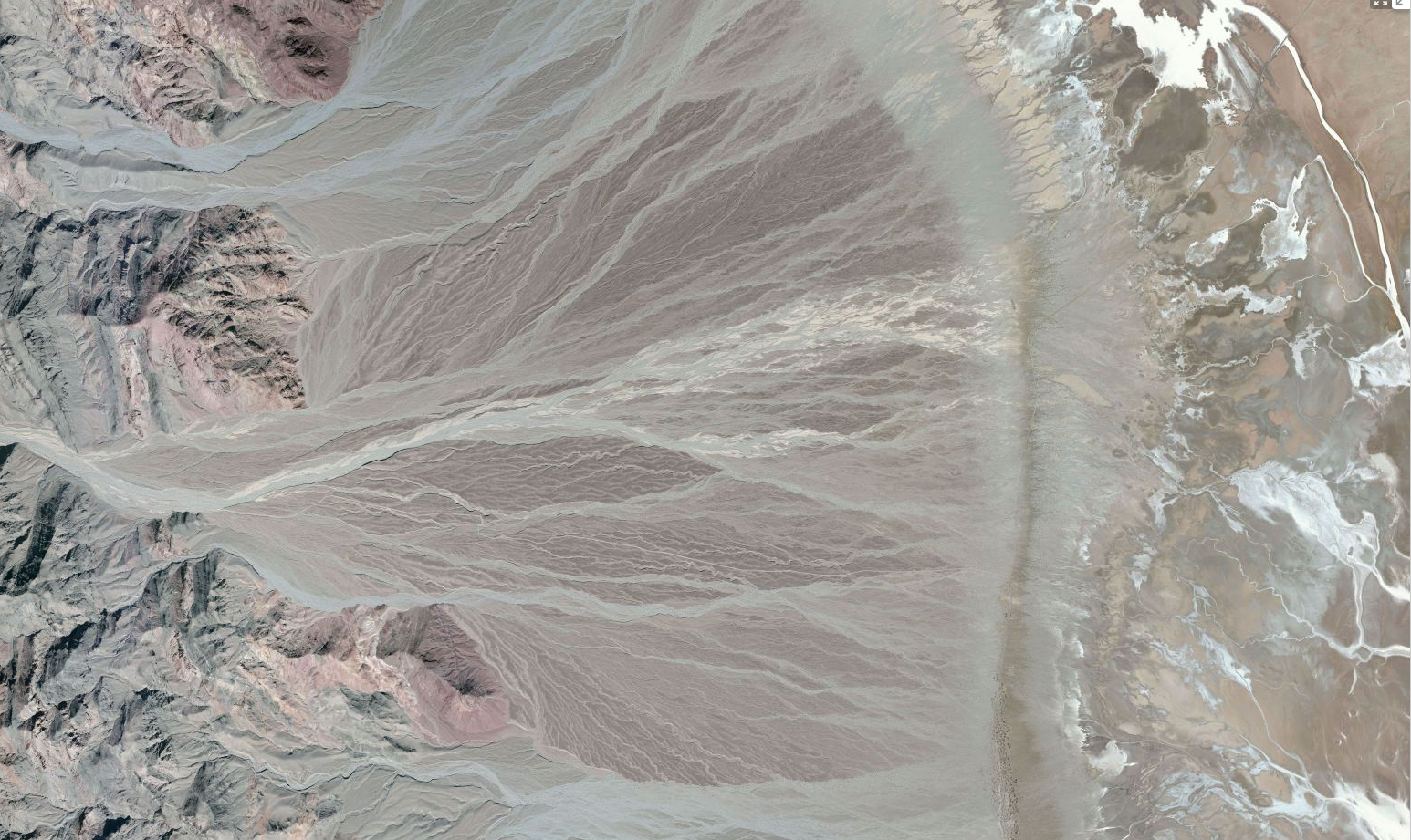
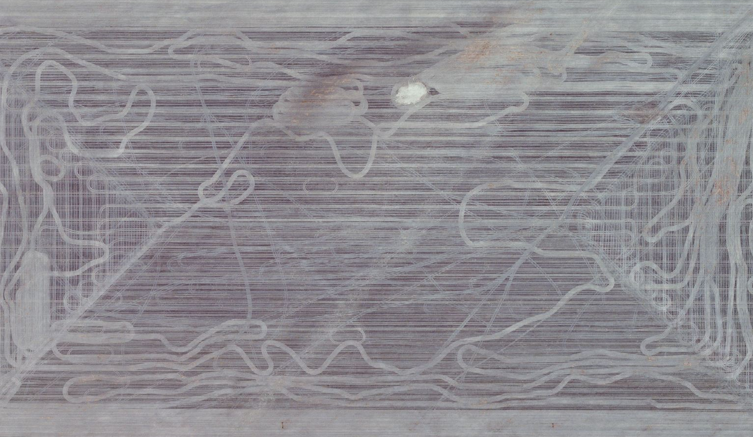
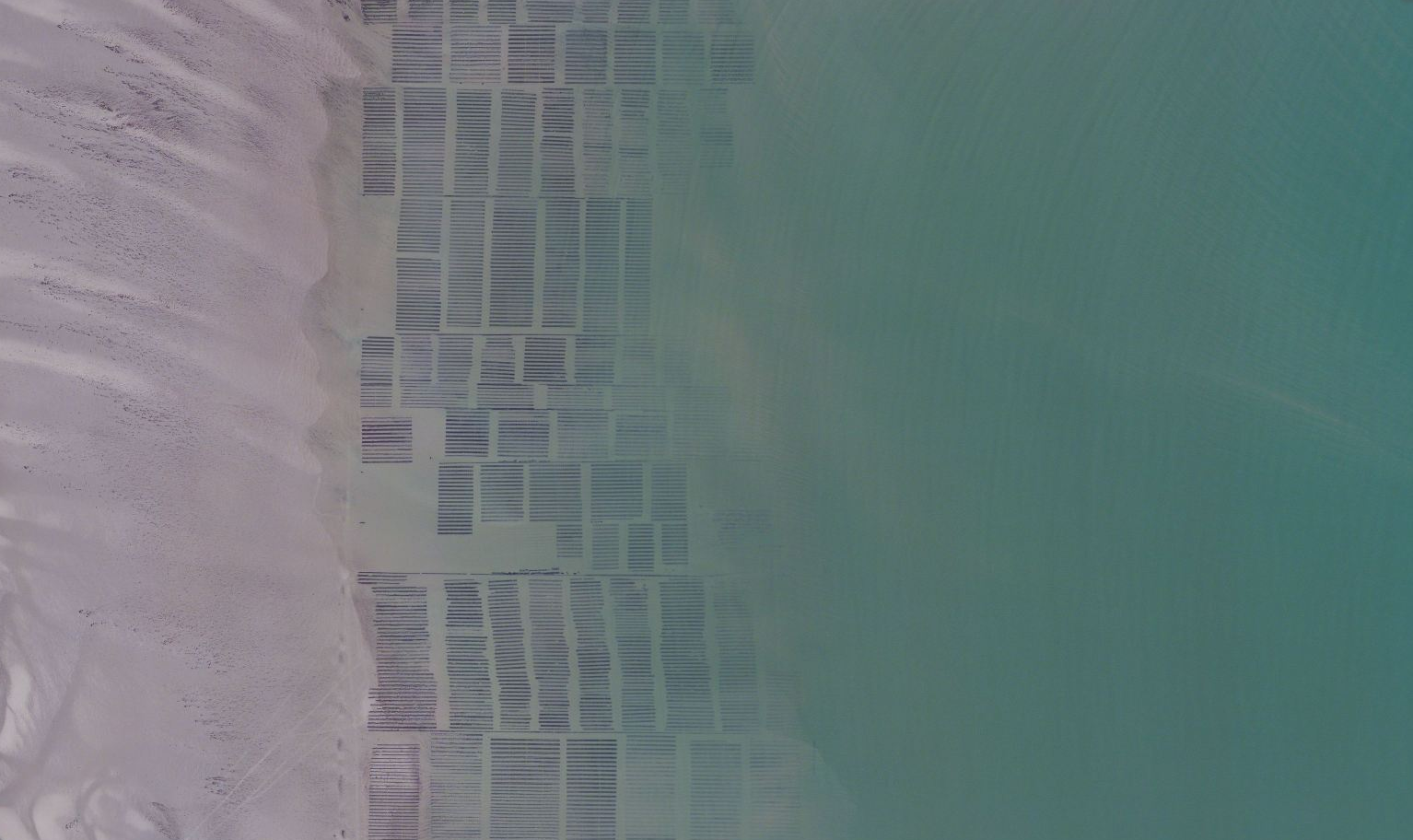
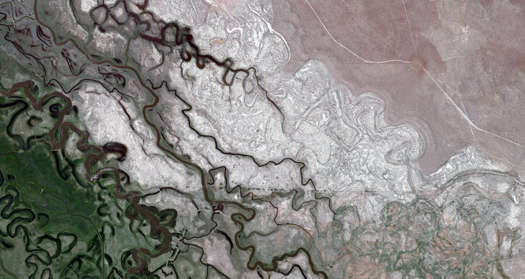
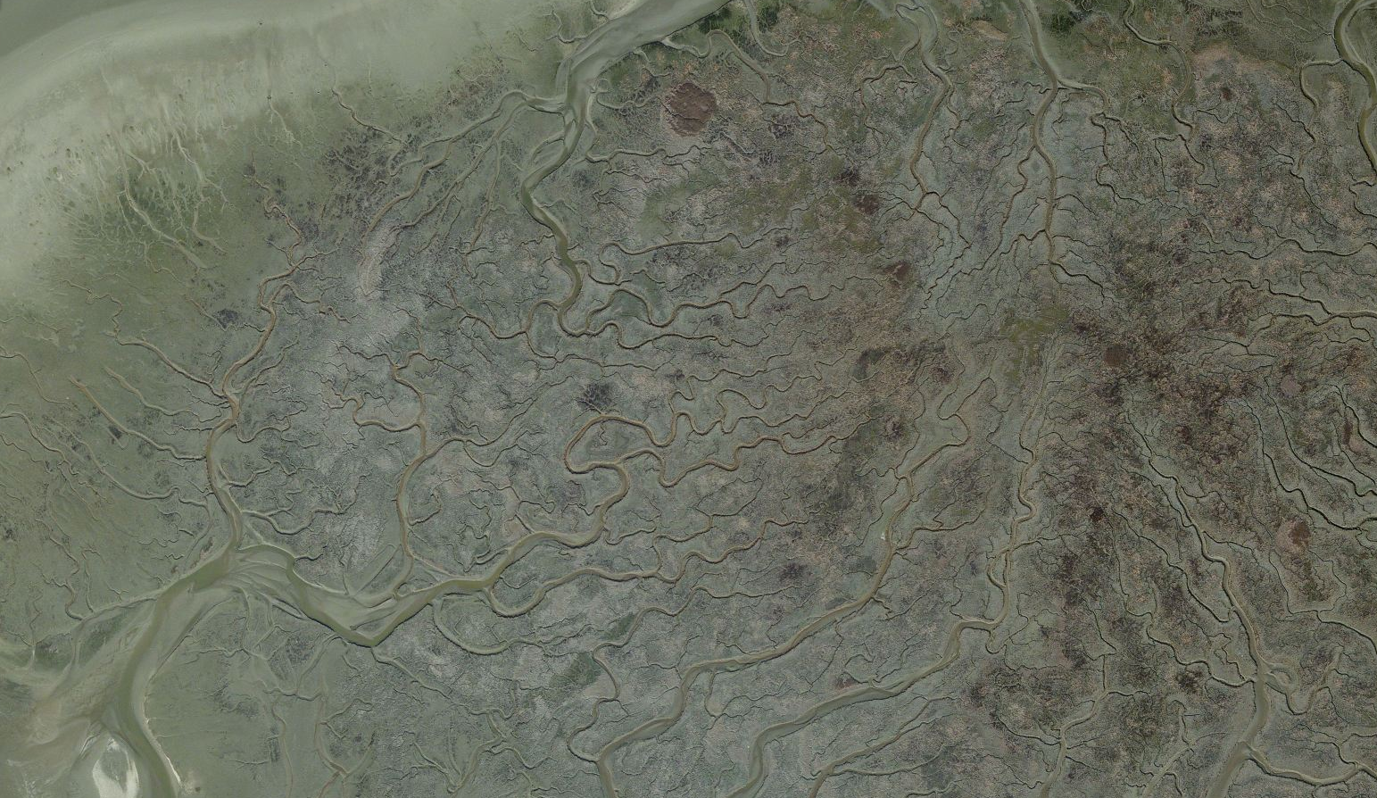
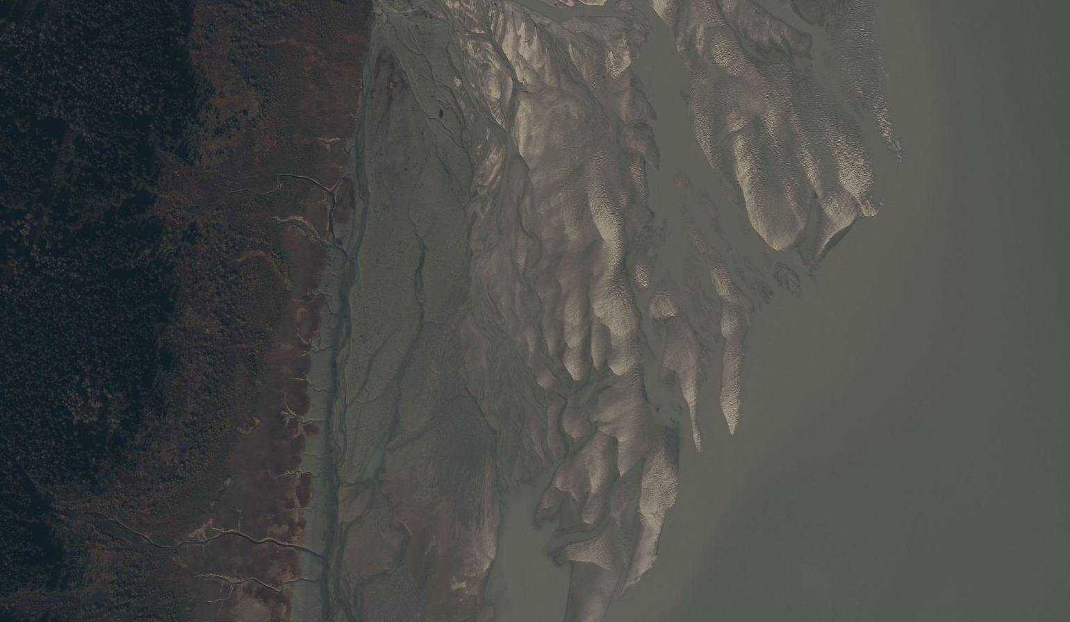
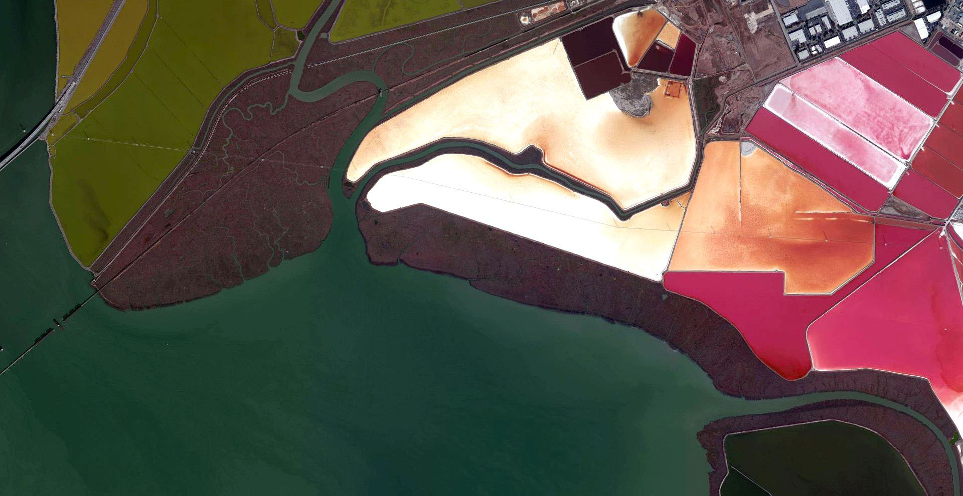
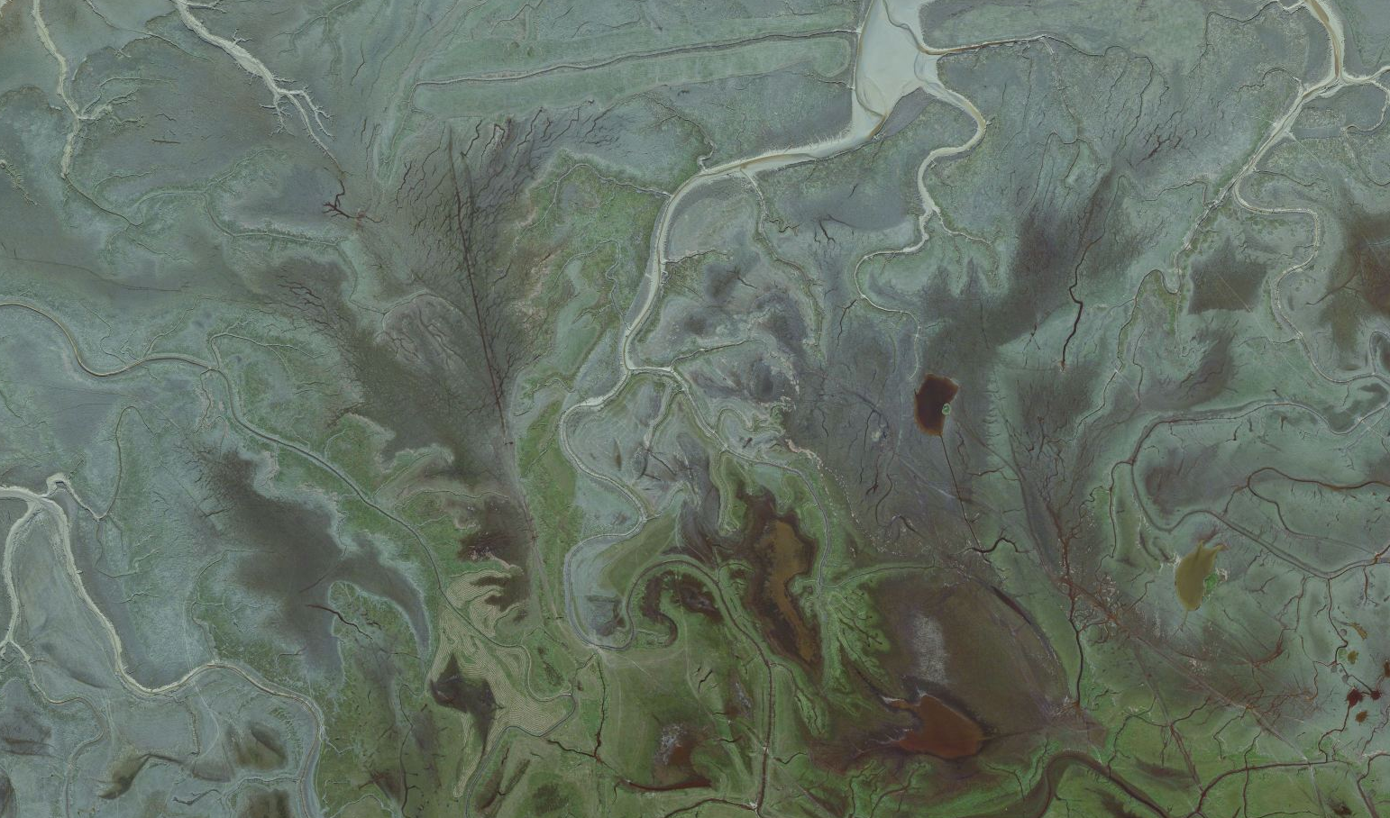
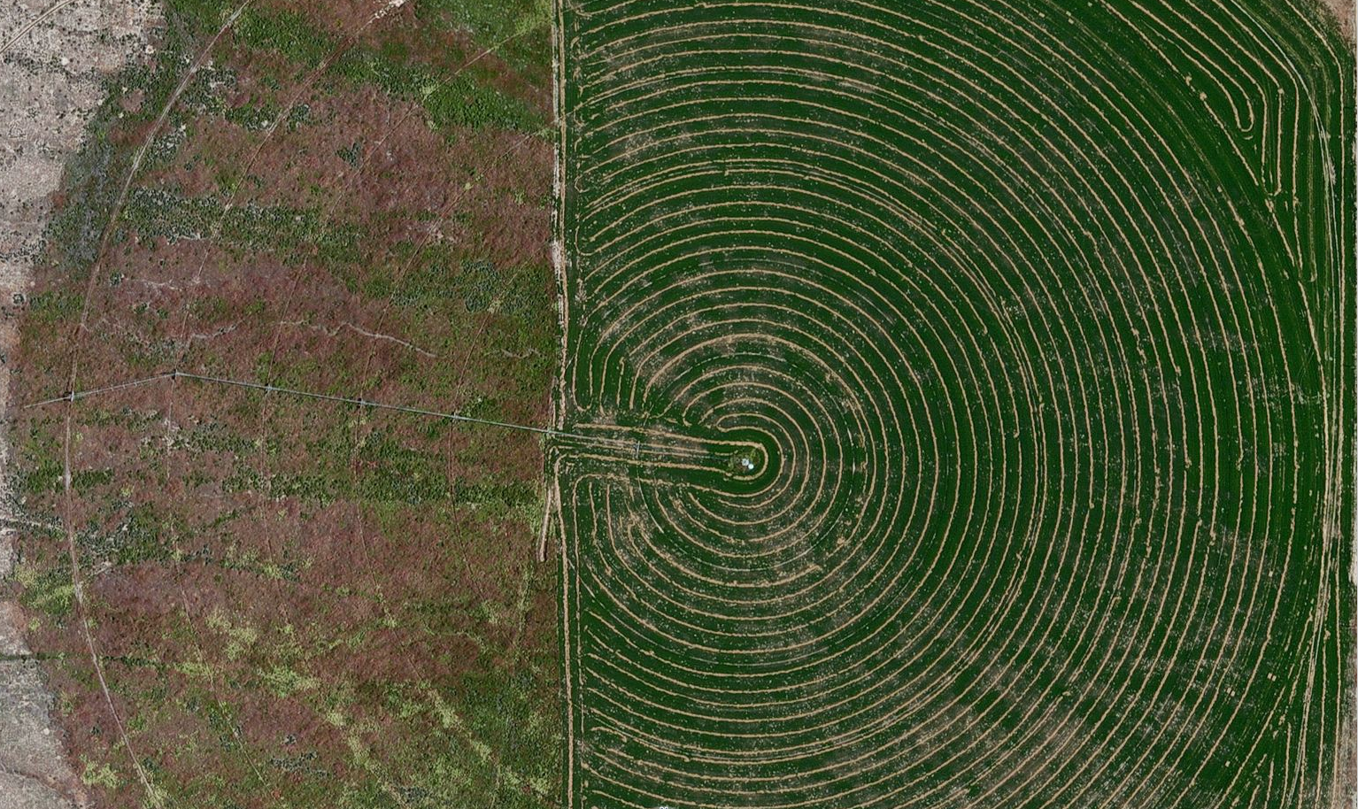
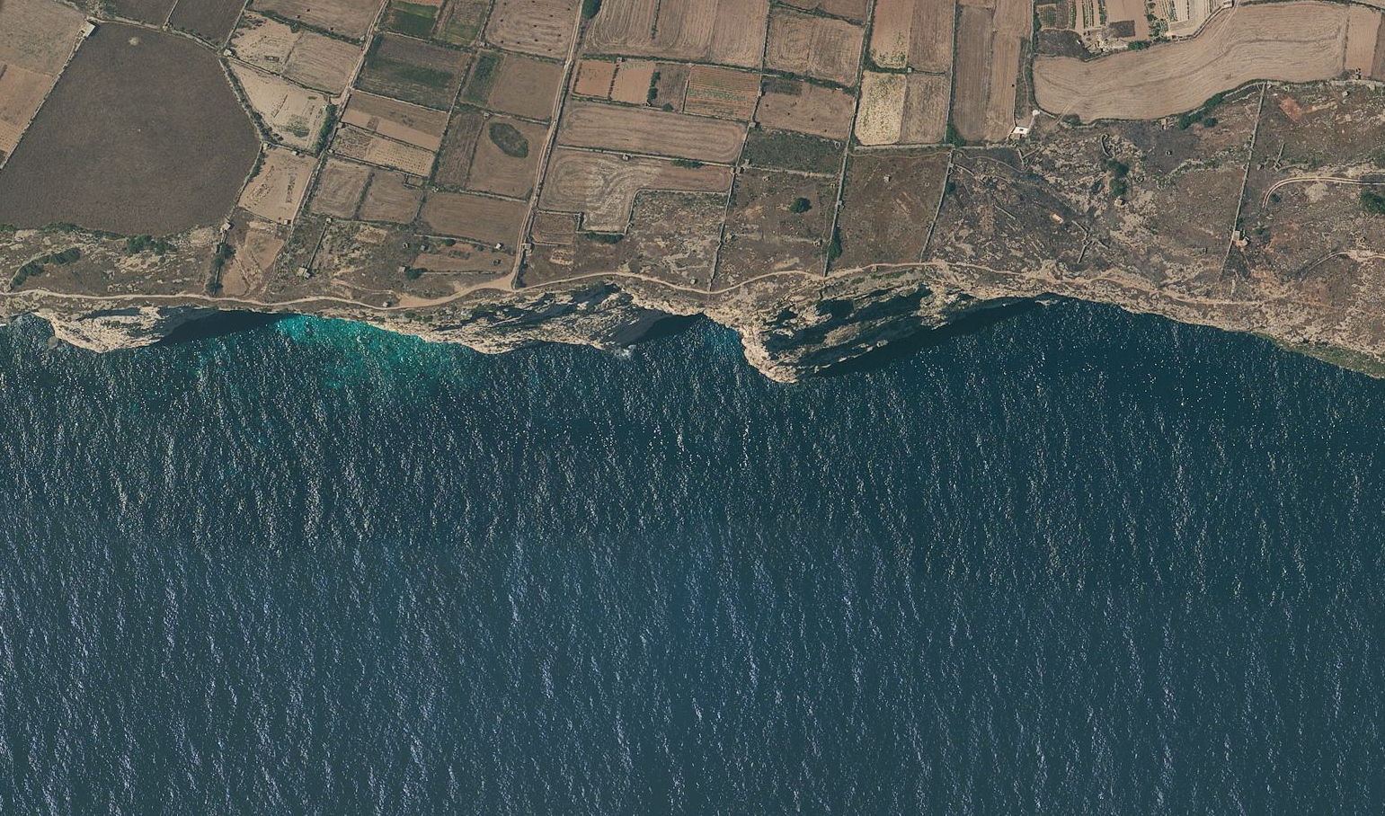
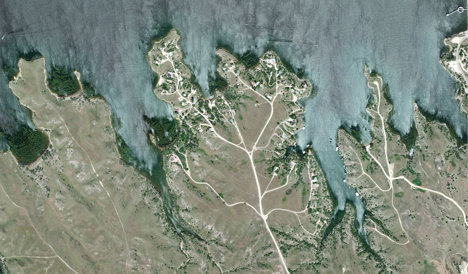
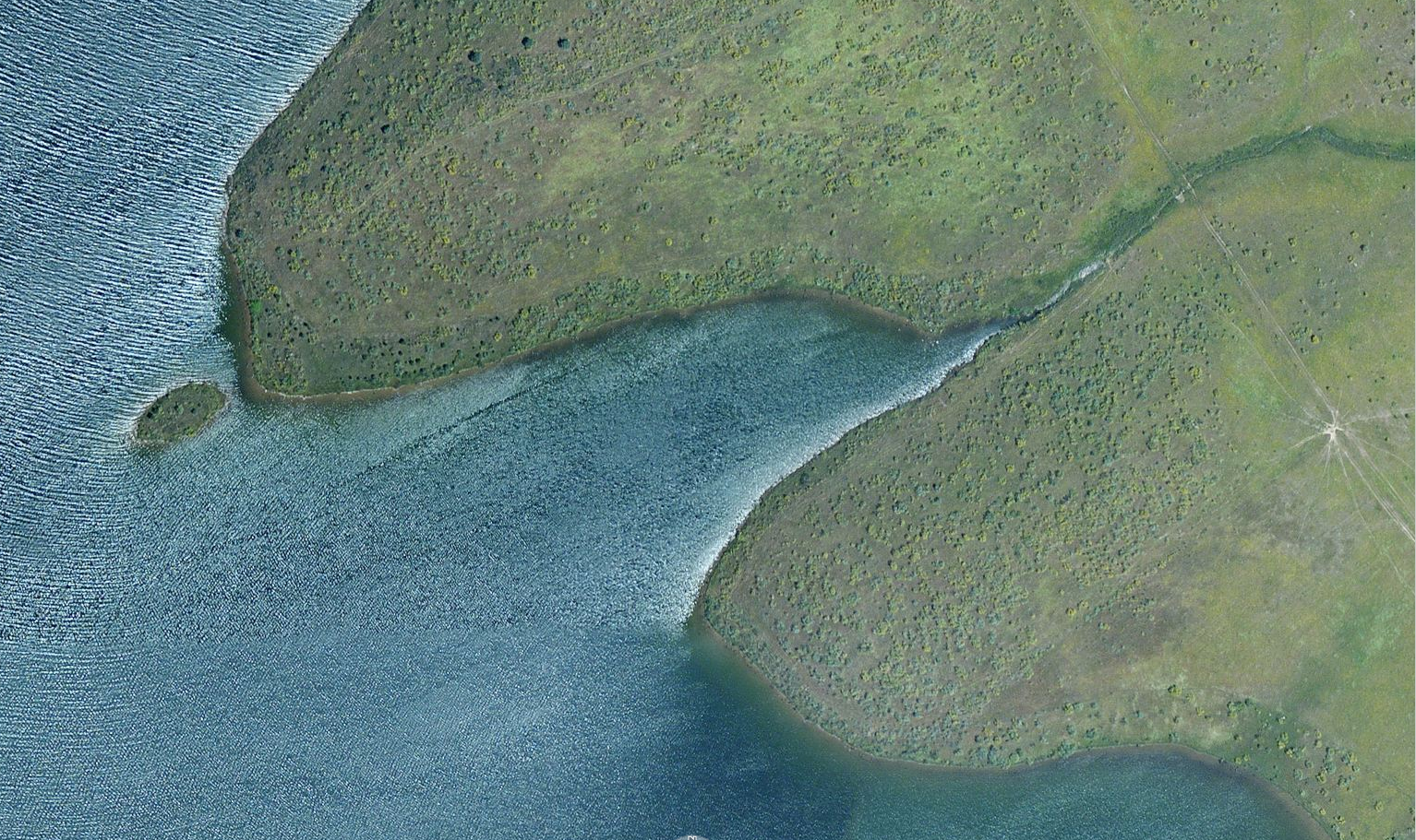
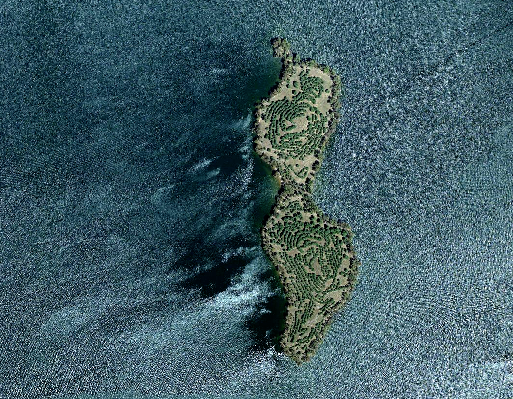
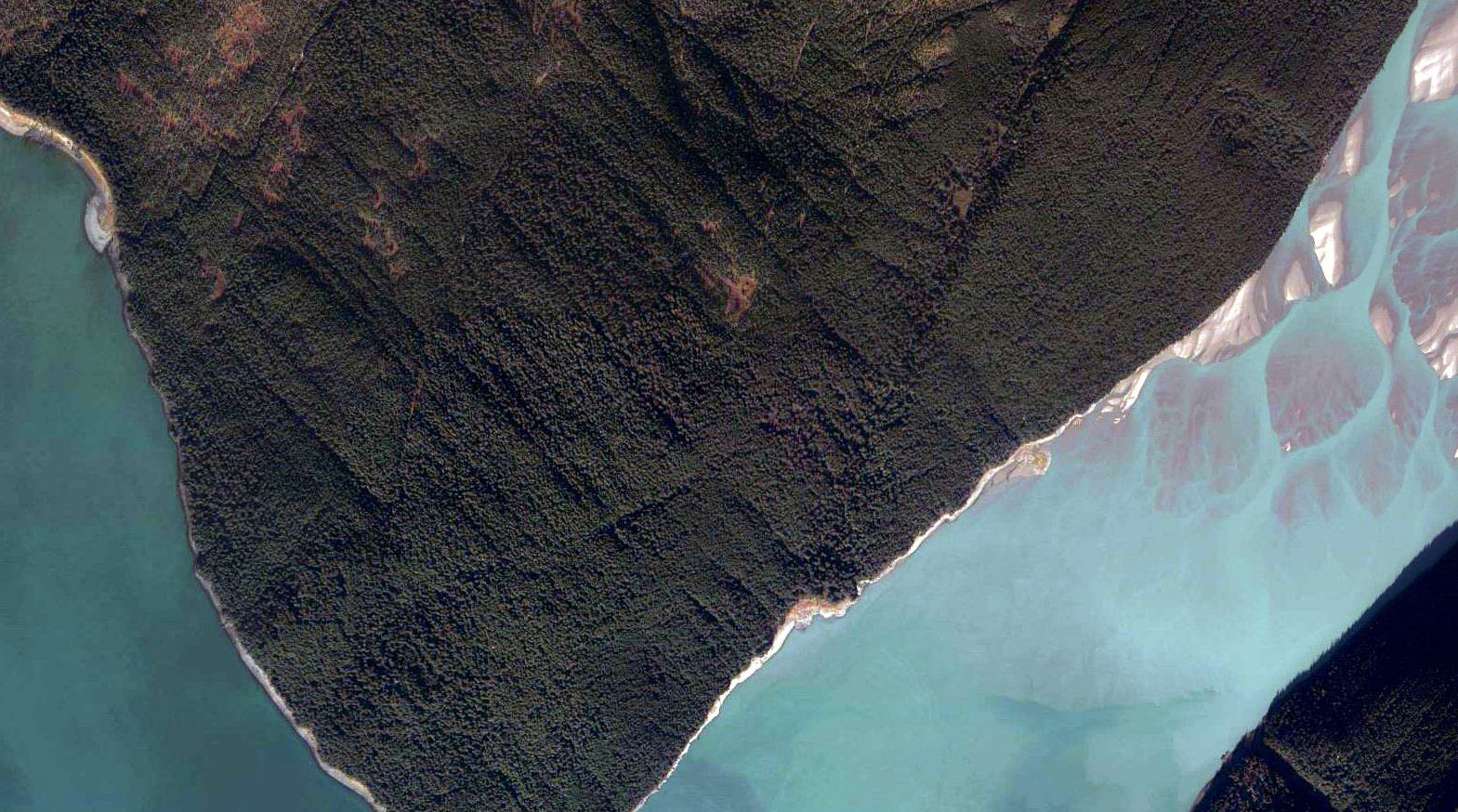
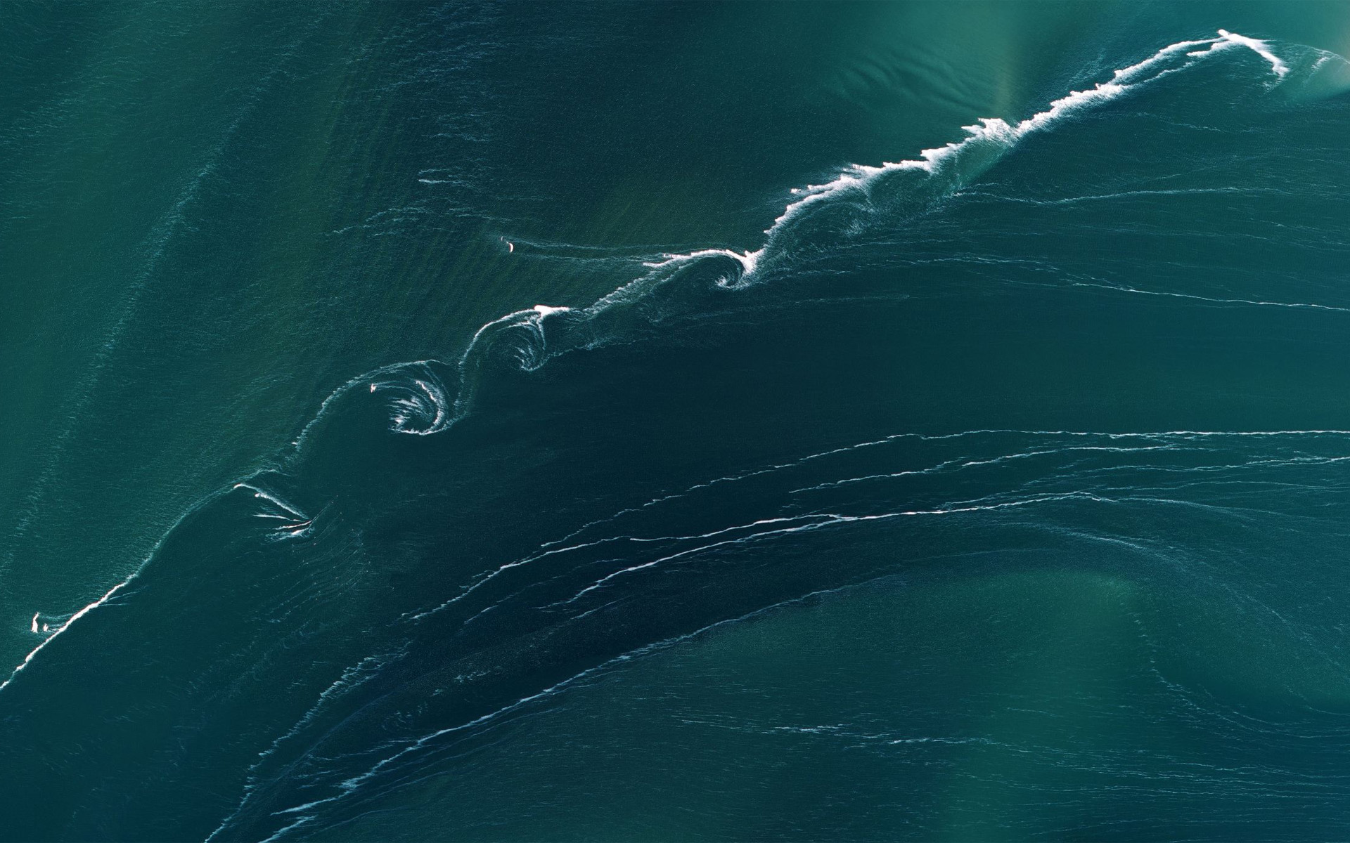
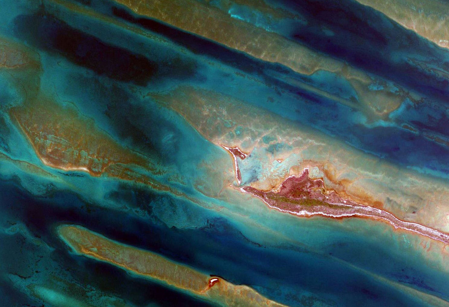
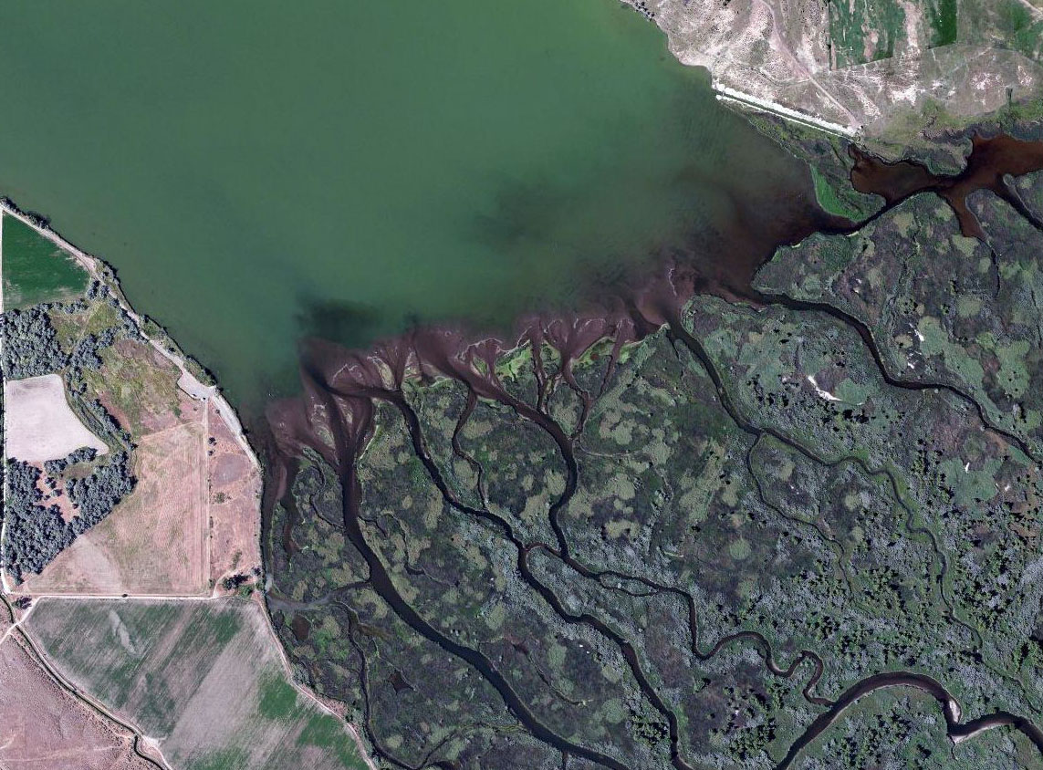
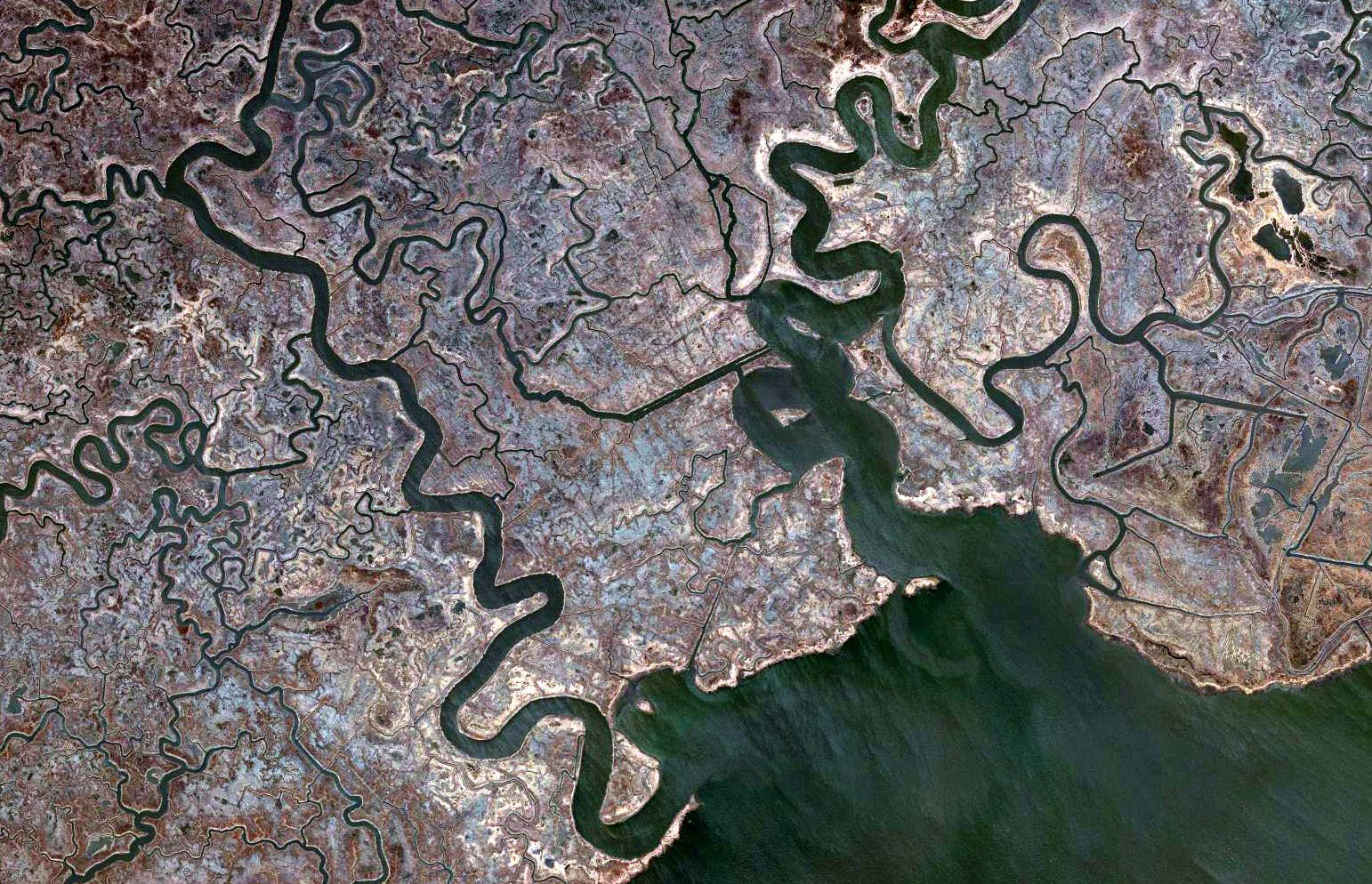
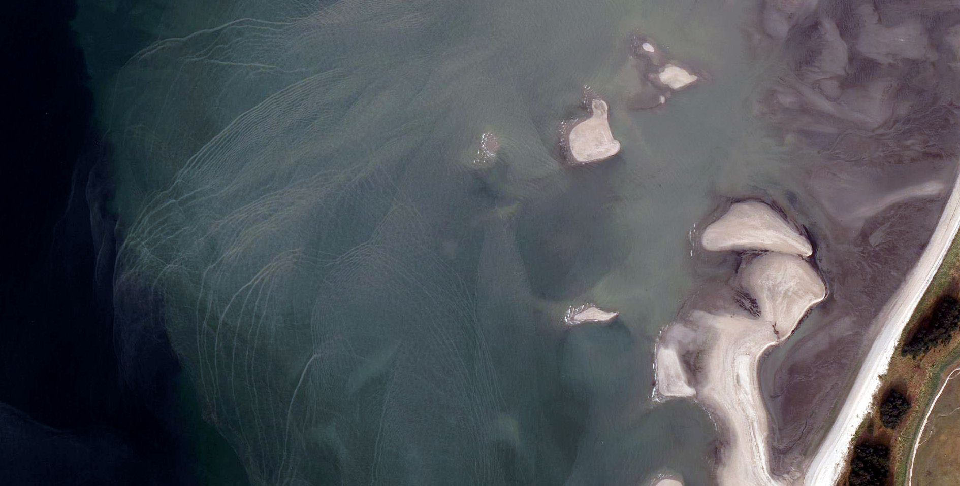
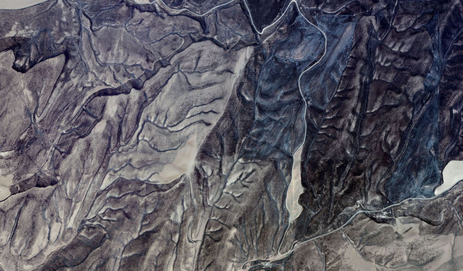
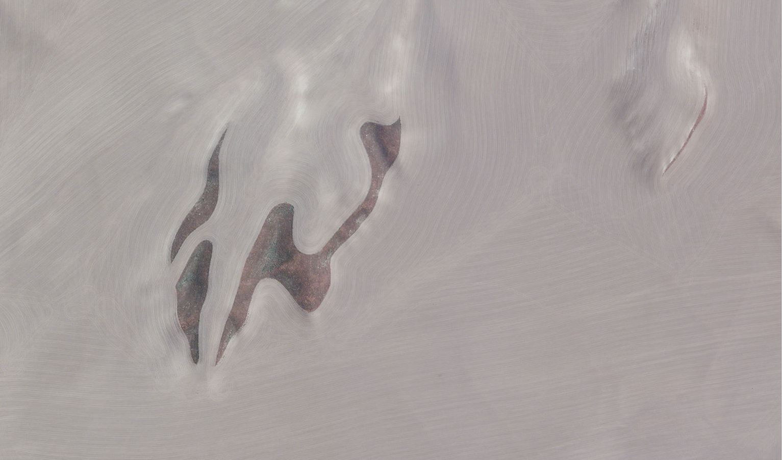
Getting to work on email campaigns that showcased the beauty of this imagery was a highlight. Most of the screen grabs I took were abstract natural patterns, but there were also striking shots of cities, buildings, and landmarks—like London’s Olympic Stadium in 2012.
Over time, I saved a collection of these screen grabs. It’s not a complete archive here, but definitely includes some favorites from my time spent there.
I just rediscovered them while digging through an old external hard drive. These images are nearly 15 years old now, but I still love how the simple, dynamic patterns in nature—whether viewed up close or from far above—remind us how interconnected it all really is.
